
Community Spotlight: Why Makers Are Adding GPS to Pi Builds
Over the past year, the ElectricalFlux community has seen a massive surge in location-aware single-board computer projects. Whether you are building a stratospheric high-altitude balloon (HAB) tracker, an off-grid RV telemetry node, or a marine NMEA 2000 gateway, understanding how to use Raspberry Pi with a GPS module is a foundational skill. Unlike microcontrollers, the Pi offers the processing power to log, parse, and transmit NMEA data over LTE or LoRaWAN simultaneously. In this community showcase, we break down the exact hardware and software stacks our top contributors are using in 2026 to achieve sub-meter accuracy and reliable cold-start fixes.
Hardware Selection: Which GPS Module Should You Buy?
Not all GPS modules are created equal. The community generally splits into three camps based on interface and chipset requirements. Below is a comparison of the most popular modules featured in recent community builds.
| Module | Chipset | Interface | Cold Start | Avg Price | Best For |
|---|---|---|---|---|---|
| u-blox NEO-M8N | NEO-M8 | UART / I2C | 26s | $15 | Custom PCBs, I2C multiplexing |
| Adafruit Ultimate GPS | MTK3339 | UART | 32s | $40 | Beginner wiring, 10Hz updates |
| VK-162 USB | u-blox 7/8 | USB | 27s | $12 | Quick deployments, no GPIO |
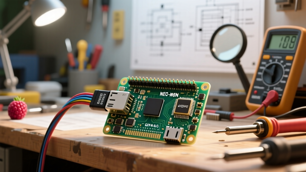
For most custom UART builds, the u-blox NEO-M8N remains the gold standard due to its low power consumption and excellent multipath mitigation.
The Core Tutorial: Wiring and Configuring UART GPS
While USB modules are plug-and-play, UART modules offer lower latency and free up USB ports for LTE modems. Here is the definitive guide on how to wire and configure a UART GPS module on a Raspberry Pi 4 or 5.
Step 1: Reclaiming the Serial Port
By default, the Raspberry Pi routes the Linux serial console to the primary UART (/dev/serial0). You must disable this to prevent kernel boot logs from corrupting your GPS data stream. Open your terminal and run:
sudo raspi-configNavigate to Interface Options > Serial Port. Select No when asked if you want a login shell over serial, and Yes when asked if you want the serial port hardware enabled. Reboot your Pi.
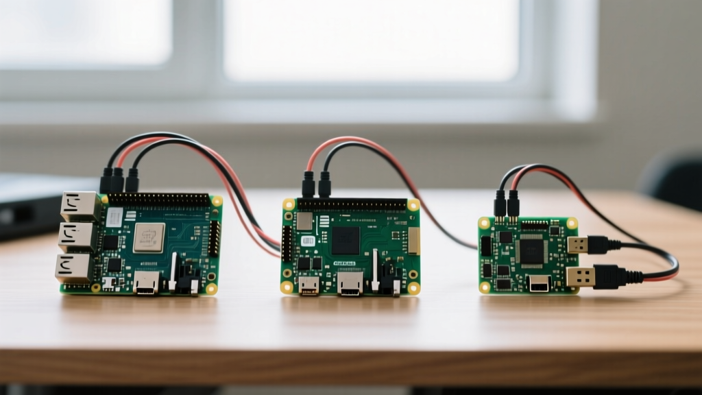
Step 2: The UART Crossover Wiring
UART requires a crossover connection. The Pi's transmit (TX) pin must connect to the GPS module's receive (RX) pin, and vice versa.
- Pi Pin 8 (GPIO 14 / TXD): Connect to GPS RX
- Pi Pin 10 (GPIO 15 / RXD): Connect to GPS TX
- Pi Pin 1 (3.3V): Connect to GPS VCC (Never use 5V unless your breakout board explicitly has a logic level shifter and 5V regulator)
- Pi Pin 6 (GND): Connect to GPS GND
Community Warning: Feeding a raw 3.3V NEO-M8N chip with 5V will instantly fry the module. Always verify your breakout board's voltage regulator schematic before applying power.
Step 3: Installing the gpsd Daemon
The gpsd daemon is the industry standard for parsing NMEA 0183 sentences. Install it via the terminal:
sudo apt update
sudo apt install gpsd gpsd-clients python3-gps
Next, edit the configuration file to point to your serial port:
sudo nano /etc/default/gpsdModify the DEVICES line to read: DEVICES='/dev/serial0'. Ensure START_DAEMON='true' and USBAUTO='false'. Restart the service with sudo systemctl restart gpsd.
Decoding NMEA: What the Data Actually Means
Once configured, you can test your fix using the command cgps -s. You will see raw NMEA sentences streaming by. The most critical sentence for velocity and position is $GPRMC (Recommended Minimum Navigation Information).
Example sentence:
$GPRMC,123519,A,4807.038,N,01131.000,E,022.4,084.4,230394,003.1,W*6A- 123519: Fix taken at 12:35:19 UTC
- A: Status Active (V would mean Void/No Fix)
- 4807.038,N: Latitude 48 deg 07.038' N
- 01131.000,E: Longitude 11 deg 31.000' E
- 022.4: Speed over ground in knots
Python Integration: Reading GPS Data Programmatically
For community projects involving data logging or MQTT transmission, you will need to read the parsed data via Python. The python3-gps library interfaces directly with the local gpsd socket.
import gps
import time

session = gps.gps(mode=gps.WATCH_ENABLE)

try:
    while True:
        report = session.next()
        if report['class'] == 'TPV':
            if hasattr(report, 'lat'):
                print(f'Latitude: {report.lat}, Longitude: {report.lon}')
                print(f'Speed (m/s): {getattr(report, 'speed', 'N/A')}')
        time.sleep(1)
except KeyboardInterrupt:
    print('GPS logging terminated.')
This script connects to the daemon on localhost:2947, allowing your Pi to simultaneously serve GPS data to your Python tracker script and a web dashboard without serial port conflicts.
Real-World Failure Modes & Antenna Troubleshooting
When community members report that their GPS module 'isn't working,' the issue is almost never the Pi's code. It is usually an RF or antenna mismatch. Here are the top three failure modes we see in the forums:
- The Indoor Fix Myth: GPS signals are incredibly weak (around -125 dBm). You cannot get a first fix indoors on your workbench. You must test near a window or outside. If you see satellite counts (SNR) but no 'A' status in your RMC sentence, you lack the geometric spread of satellites needed for a 3D fix.
- Active vs. Passive Antennas: The NEO-M8N expects an active antenna (which contains a low-noise amplifier) powered by the module's 3.3V rail. If you connect a passive ceramic patch antenna to a board expecting an active one, the noise figure will be too high, resulting in zero satellite lock.
- Baud Rate Mismatches: While 9600 baud is the NMEA standard, some community members flash their u-blox modules to 115200 for higher update rates. If
gpsdis expecting 9600, the data will appear as garbled text. You can force the baud rate in the/etc/default/gpsdfile using theGPSD_OPTIONS='-s 115200'flag.
Showcasing Community Projects: From Balloons to Boats
How are makers applying this stack in the wild? Here are two standout projects from the ElectricalFlux forums this year:
The LoRaWAN HAB Tracker
User @StratoCat built a high-altitude balloon payload using a Pi Zero 2 W, a NEO-M8N module, and a HopeRF RFM95W LoRa transceiver. By parsing the NMEA data locally with Python and stripping out the verbose sentences, they reduced the payload telemetry packet to just 14 bytes, allowing for 30-second ping intervals over LoRaWAN at 40,000 feet.
The Smart Boat NMEA Gateway
Marine electronics are notoriously expensive. User @SailMaker used a Raspberry Pi 4 and a waterproof USB GPS puck to act as a bridge. Using the Raspberry Pi UART and USB configs, they routed the GPS data into Signal K, an open-source marine data server, providing wireless navigation data to their tablet for under $60.
Mastering how to use Raspberry Pi with a GPS module opens up a world of telemetry, tracking, and navigation projects. Whether you choose I2C, UART, or USB, the combination of Linux processing power and precise GNSS data is a cornerstone of modern DIY engineering.